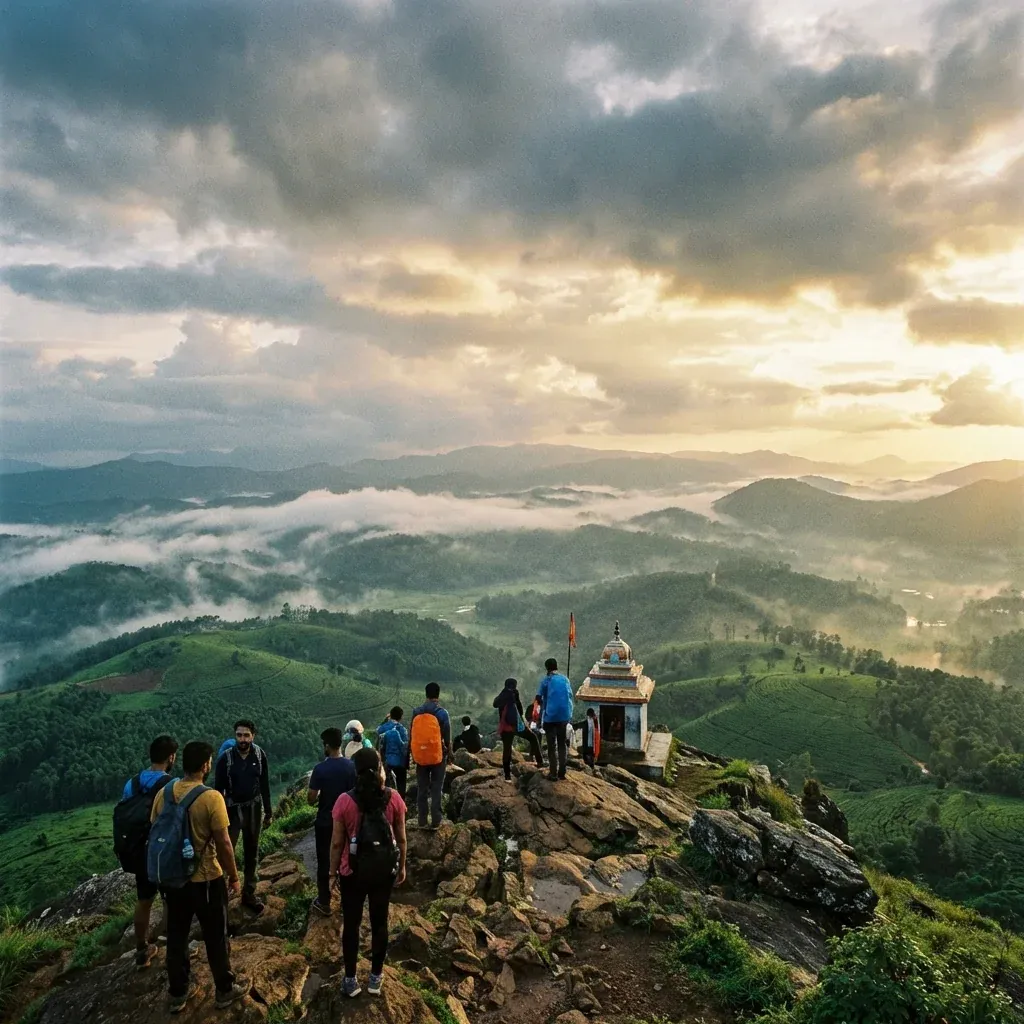
Located in the Chandra Drona Hill Ranges of Chikmagalur, Mullayanagiri stands at an impressive 1,930 meters (6,330 feet). As the highest peak in Karnataka, it offers thrilling trekking pathways, chilling winds, and a serene cliff-top Shiva temple.
Mullayanagiri Peak
The Highest Summit in Karnataka Offering Cloud-Kissed Views
A Glimpse into History
Origins – Sage Mullappa Swamy
The mountain derives its name directly from Mullappa Swamy, a dedicated sage who supposedly meditated intensely in the caves directly situated below the peak's summit.
Evolution – Ancient Pilgrimage Route
For centuries, the exhausting trek exclusively served regional devotees scaling the sheer cliffs barefoot to reach the small temple honoring Lord Shiva at the very top.
Modern Era – Premier Trekking Hub
Today, the original 3 km trekking trail from Sarpadhari is highly favored by adventure enthusiasts, while a motorable road carved halfway up greatly caters to standard driving tourists.
Significance
Holding the crown as the highest peak fully nestled between the Himalayas and the Nilgiris, its unique altitude supports rare montane grasslands and stunted Shola forest patches serving as vital ecological hotspots.
Festivals & Events
Maha Shivaratri (February/March)
The small summit temple becomes incredibly active. Dozens of local priests and devoted trekkers scale the misty peak overnight to execute special early morning aartis honoring Shiva.
Kurinji Blooming (Once in 12 Years)
The surrounding slopes phenomenally erupt in a blanket of purplish-blue Kurinji blossoms exclusively once every twelve years, attracting botanists and international nature photographers.
Did You Know?
You can physically touch the clouds here on most winter mornings. Due to the extreme altitude lack of terrain friction, wind speeds at the summit temple frequently push adults off balance during monsoons.
Travel Guide
How to Reach
By Air: Mangaluru International Airport (IXE) is ~170 km away.
By Train: Kadur (~60 km) or Chikmagalur Railway Station (~20 km) provide primary rail access.
By Road: From Chikmagalur town, hire local specialized Jeeps; the final motorable stretch is extremely steep, narrow, and entirely unpaved.
Best Time to Visit
September to April provides crisp visibility of the valleys below. June to August features blinding thick fog, torrential rains, and extremely slippery trails highly unsuited for casual climbers.
Local Attractions
Baba Budangiri (~15 km): The imposing sister peak sharing a spectacular connecting ridge trek.
Jhari Waterfalls (~12 km): Famously known as Buttermilk Falls, accessed abruptly via rough jeep trails.
Seethalayyanagiri (<5 km): A slightly lower adjacent peak containing another serene historical temple.
Tips for Visitors
The final climb from the parking lot demands scaling roughly 500 steep concrete steps; heart patients should reconsider.
Do not drive sedans or hatchbacks to the top parking lot; strictly park halfway and hire rugged local 4x4 jeeps.
The summit is overwhelmingly windy and freezing even in summer; a thick heavy jacket is absolutely non-negotiable.
There are strictly zero commercial food stalls at the absolute summit; carry your own water heavily but leave no plastic.
Location Map
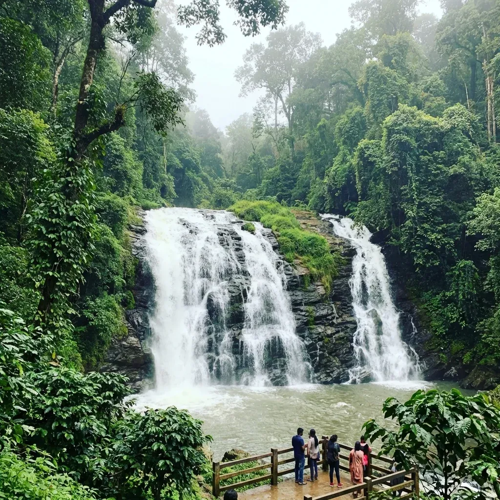
Image Gallery